


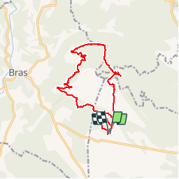

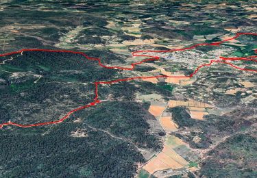
14 km | 21 km-effort


User


FREE GPS app for hiking
 SityTrail
IGN / Geographical institutes
SityTrail World
The world is yours!
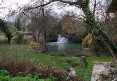
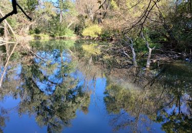
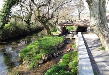
Trail Walking of 17.6 km to be discovered at Provence-Alpes-Côte d'Azur, Var, Le Val. This trail is proposed by Sugg.
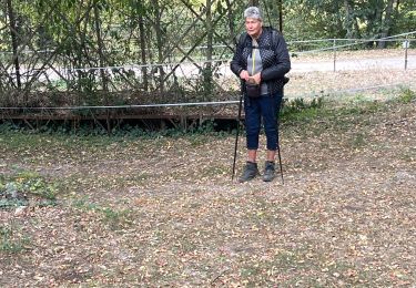
Rando réelle du 6 juin 2018.
7 au départ.
plutôt sur la commune du Val !
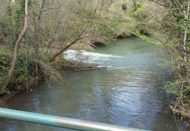
J'avais prévu de finir la boucle plus au sud sous la D28 mais un peu long !

Walking
Walking
On foot

sport

Walking
Walking
Walking

Walking
Walking